5 ways to create elevated interactive maps with your branded travel content
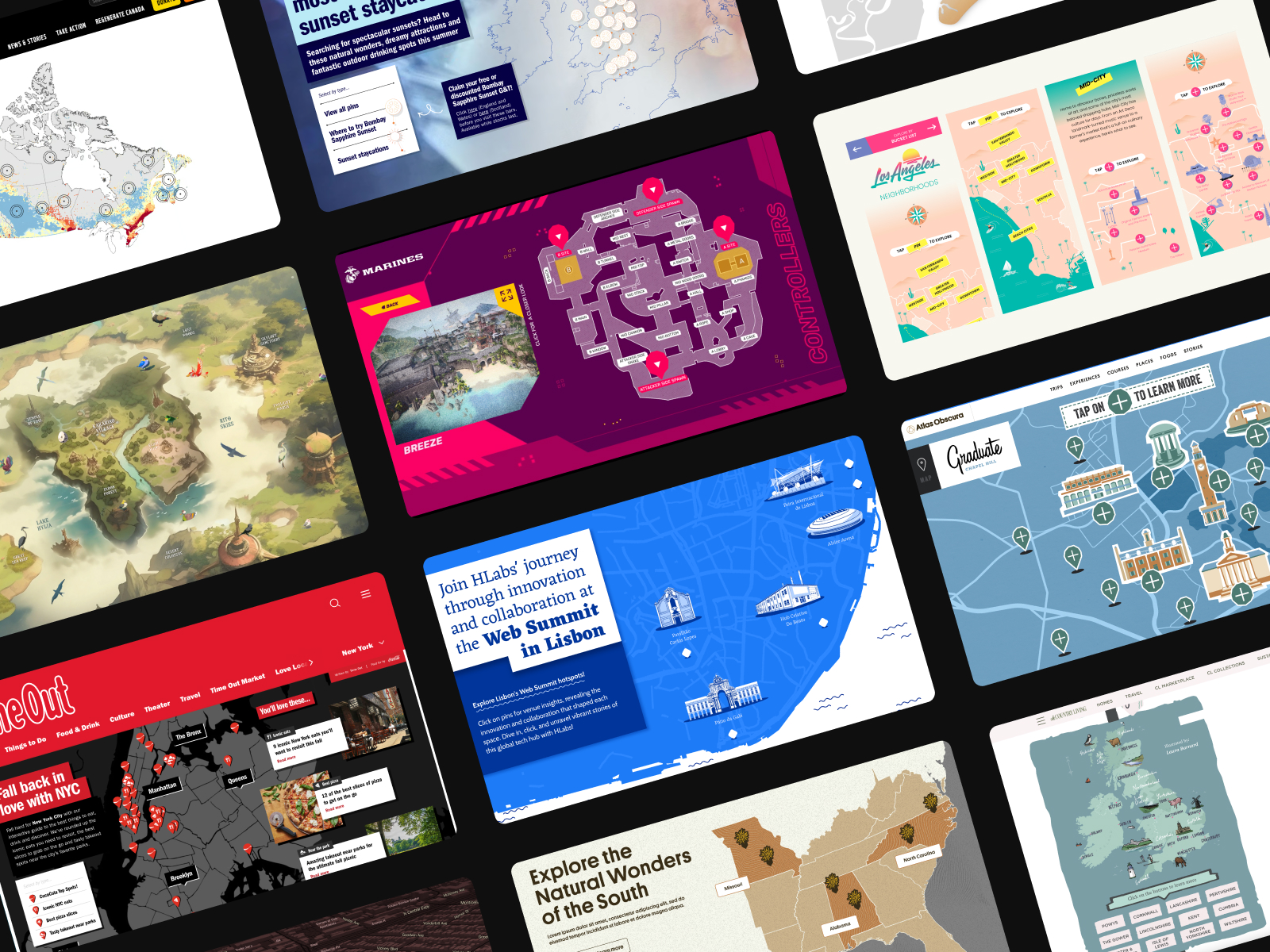
In the world of digital storytelling, few tools are as versatile and impactful as interactive maps. They not only help convey complex information visually but also engage your audience in a way static content cannot. Whether you're a brand looking to illustrate your reach, a real estate firm showcasing properties, or a tourism board highlighting key attractions, we have the expertise to create the perfect interactive map for your needs. Here are five types of maps we create for our clients, each tailored to enhance your digital presence.

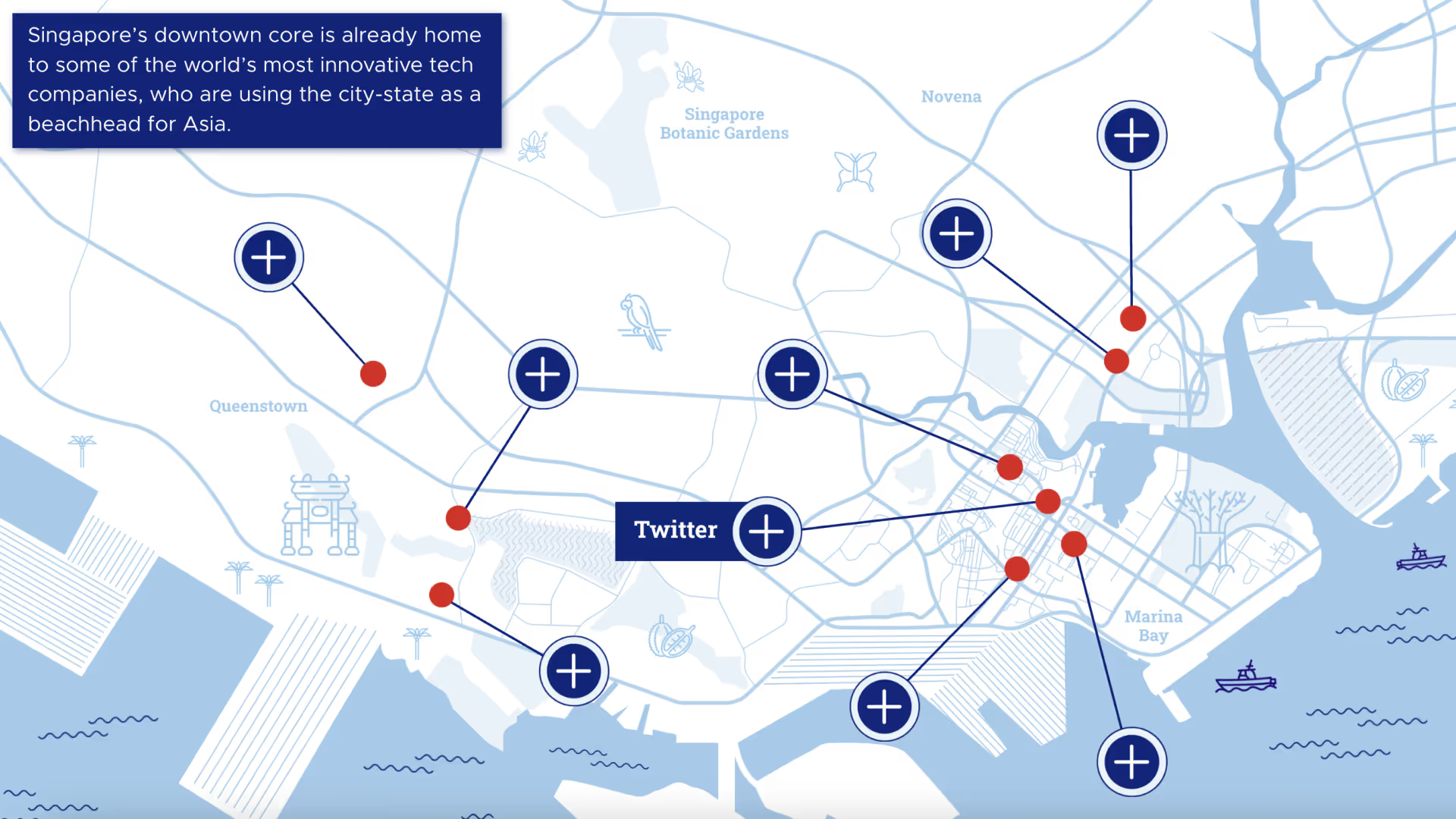
Figma plugin created map in just 10 mins

Basic static maps: Figma plugins can now create in just minutes!
Sometimes, simplicity is key. Our basic static maps are perfect for projects that require a clean, straight forward visual representation of locations. We've developed a workshop (and a snapshot video) to share how the HLabs team is using Figma plugins to create maps directly from Google's APIs, by re-colouring, creating strokes and updating fonts to rebrand any map, ensuring accuracy and a professional finish.
- Watch: How to create custom maps on Figma
- Platform: Figma
Illustrated Maps: Tailoring every solution.
For brands that want something unique and visually aligned with their identity, our illustrated maps are the perfect solution. Our talented illustration team creates customised maps with tailored pins and iconography and labelling that reflect your brand's personality. These interactive maps are not only functional but also serve as a beautiful piece of branded content. We can add animation too!
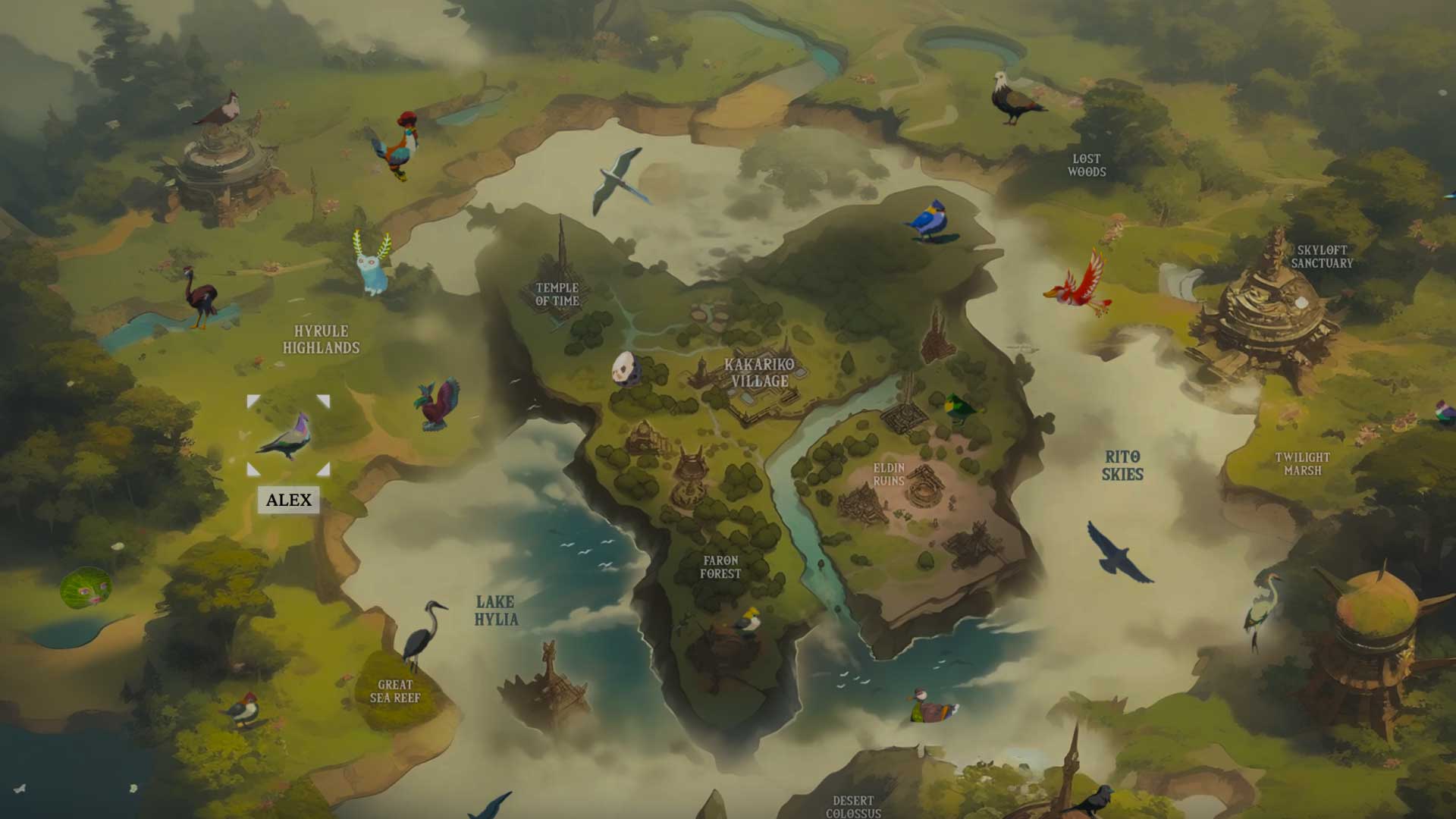
We've also been playing more and more with AI tools to create interesting illustrations to liven up map projects. The image below shows our gamified map mocking gaming legend Zelda.
Examples of custom illustrations made interactive:
Interactive Maps: Engage Your Audience with Dynamic Visuals
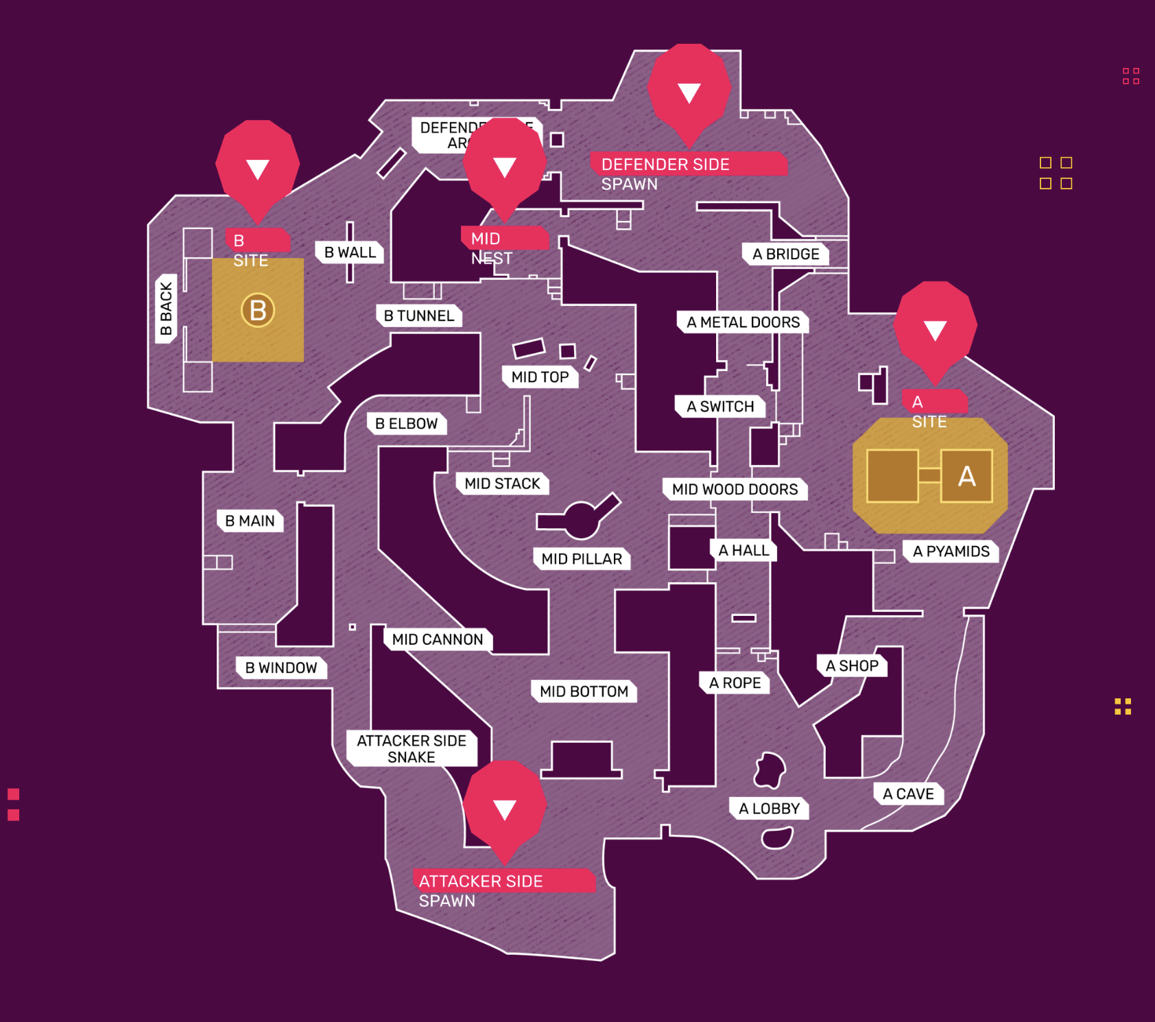
Interactive maps are where the magic happens. We leverage powerful no-code tools like Mapbox, Snazzy Maps, Elfsite, Google Maps to create maps that are not only beautiful but completely accurate that users can engage with directly. Whether it’s highlighting data points, showcasing travel routes, or illustrating customer locations with custom designed pins, our interactive maps transform static information into a dynamic user experience.
- Example: Cavendish Venues
- Map tools: Mapbox, Snazzy Maps, Elfsite, Google Maps,
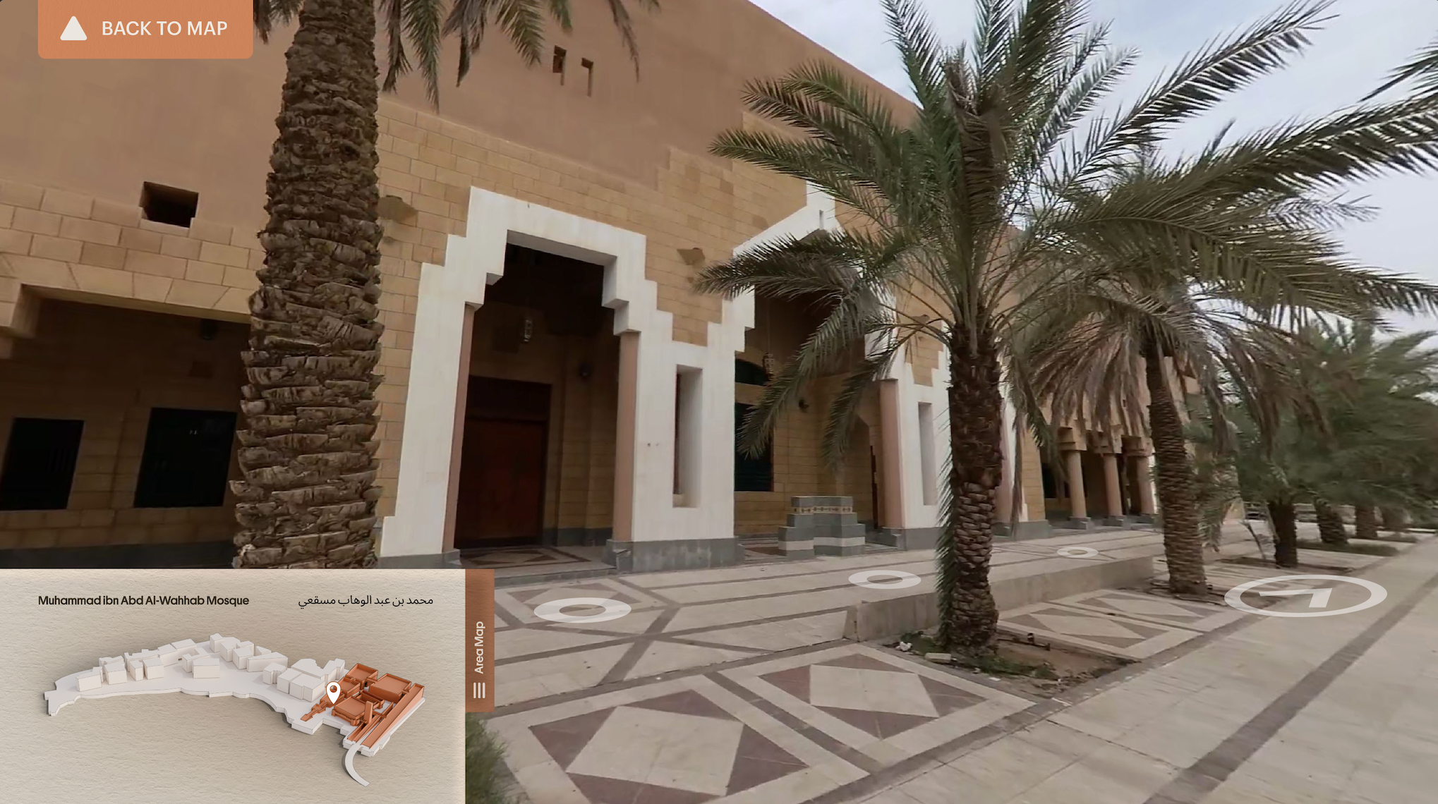
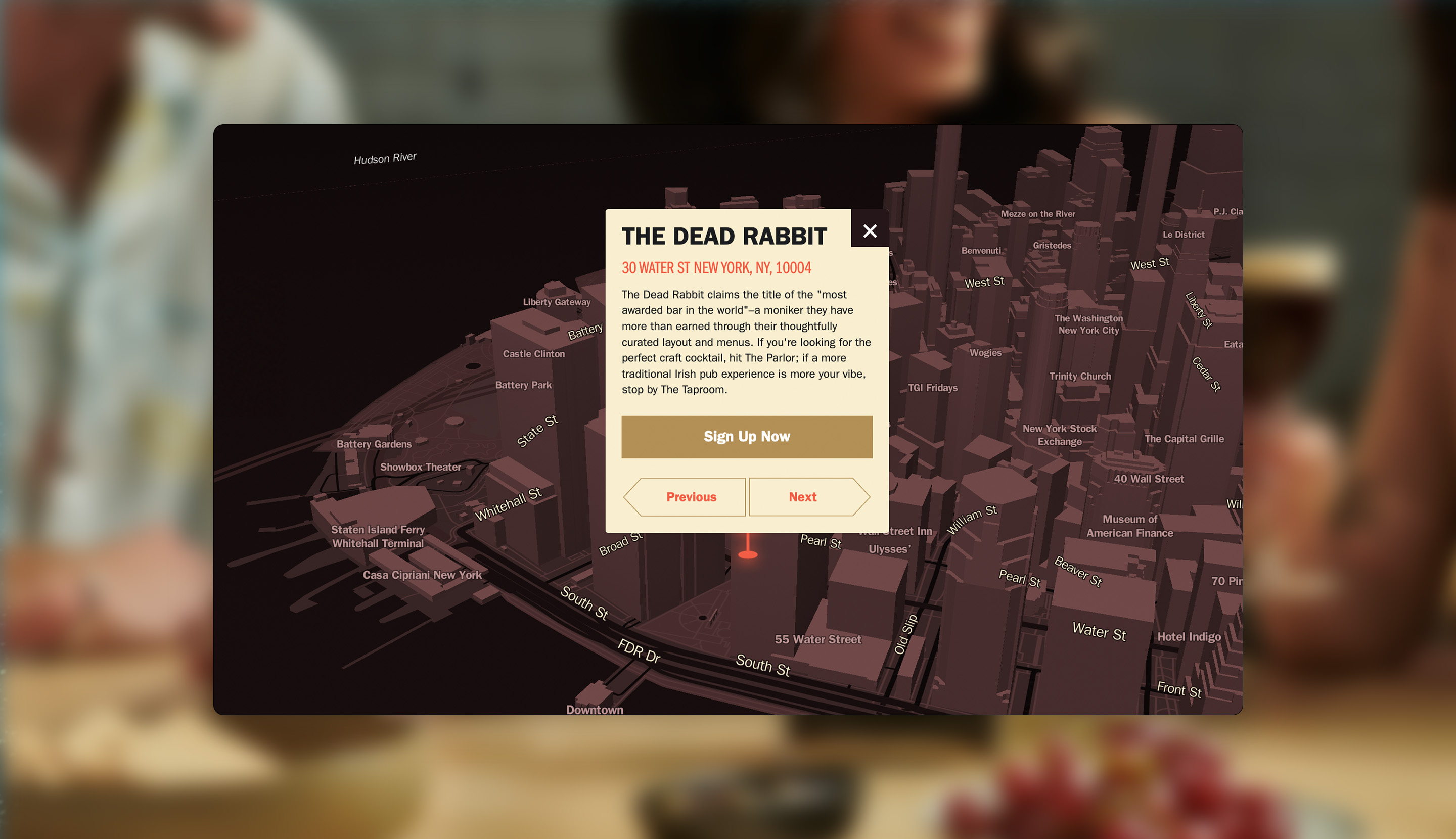
3D Maps: Add Depth to Your Data
For a truly immersive experience, our 3D maps offer a next-level visual experience. HLabs developed from scratch, an integration using Mapbox and Webflow to create a CMS editable interactive map module. These maps provide depth and interactivity that are unmatched by traditional 2D maps. Perfect for projects that require a more detailed and engaging representation of geographic data, our 3D maps are a powerful tool for storytelling.


What’s a Rich Text element?
The rich text element allows you to create and format headings, paragraphs, blockquotes, images, and video all in one place instead of having to add and format them individually. Just double-click and easily create content.
Static and dynamic content editing
A rich text element can be used with static or dynamic content. For static content, just drop it into any page and begin editing. For dynamic content, add a rich text field to any collection and then connect a rich text element to that field in the settings panel. Voila!
How to customize formatting for each rich text
Headings, paragraphs, blockquotes, figures, images, and figure captions can all be styled after a class is added to the rich text element using the "When inside of" nested selector system.
Virtual tours: Fully immersive 3D world experiences
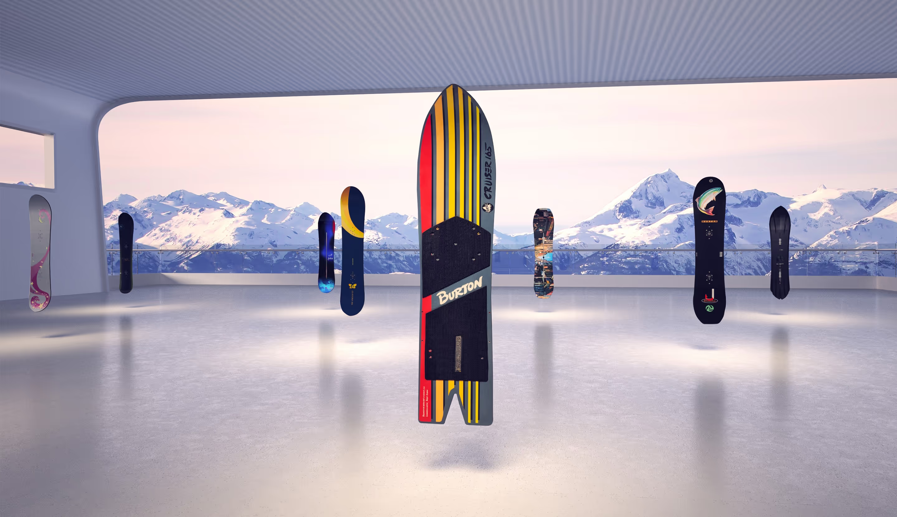
Imagine a map that is not just interactive, but a gateway to an entire virtual world. Our virtual tours are fully immersive websites that allow users to explore a 3D environment through a map function.
These are ideal for showcasing large spaces like museums, campuses, or even entire cities, offering a digital experience that is as close to real life as it gets.
Whether you need a basic static map or a fully immersive virtual tour, our team is ready to bring your vision to life. Book a call with us today to brief us on your next interactive map project and discover how we can help you captivate and engage your audience.
We’ll show ours if you share yours.
Share your details so we can stay in touch and directly show you premium HLabs content!


.webp)
